
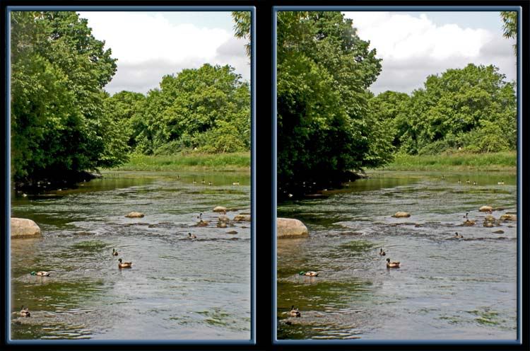

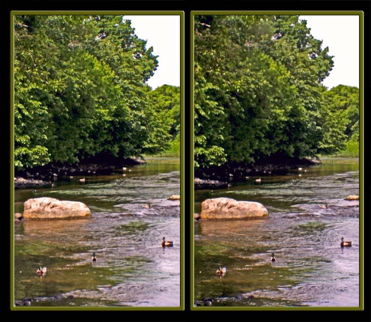
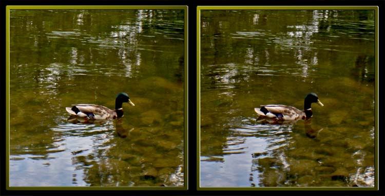
The Rideau River was used as a transportation route between the Ottawa and St Lawrence rivers. The fertile lands along its banks attracted LOYALIST settlers looking for good farmland, and settlements grew in MERRICKVILLE and Burritts Rapids before the turn of the 18th century. After the War of 1812, the vulnerability of the St Lawrence River to attack by the Americans made the search for an alternate transportation route linking KINGSTON - the naval stronghold for Upper Canada - and MONTRÉAL, in Lower Canada, a priority. The Rideau was the obvious choice and the waterway was designed and built by Lieutenant-Colonel John By. Photos of the Rideau Canal will be coming shortly.


No comments:
Post a Comment